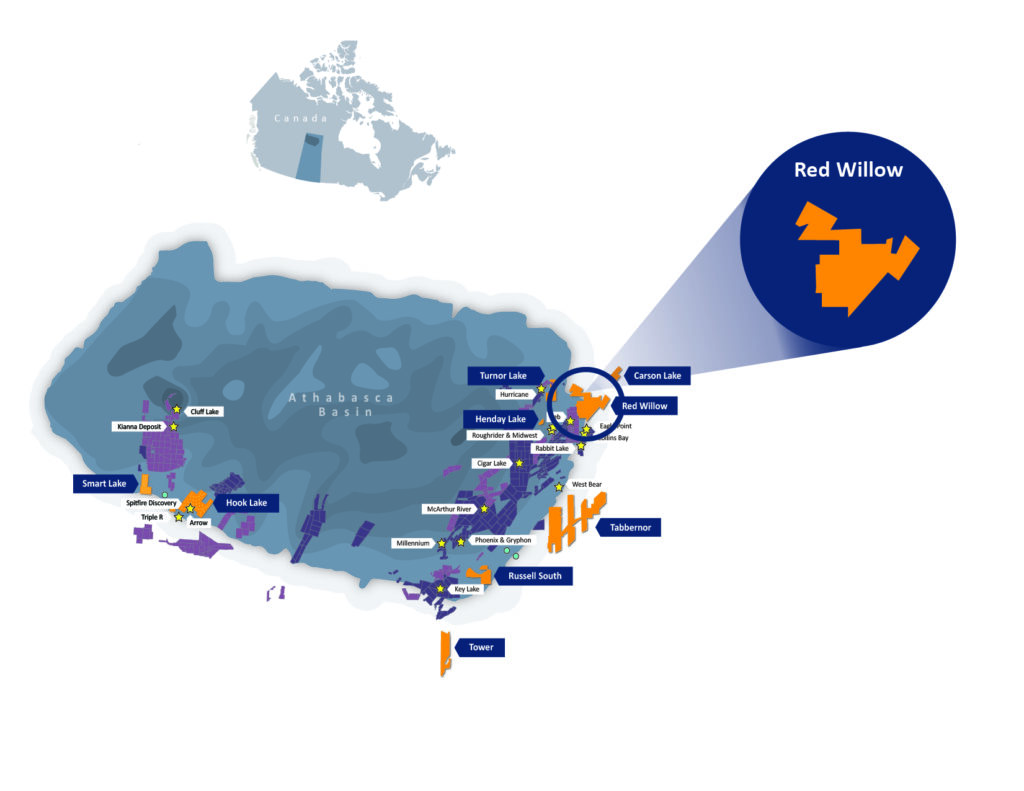
Located within the renowned Athabasca Basin's Eastern Mine Trend
About Red Willow
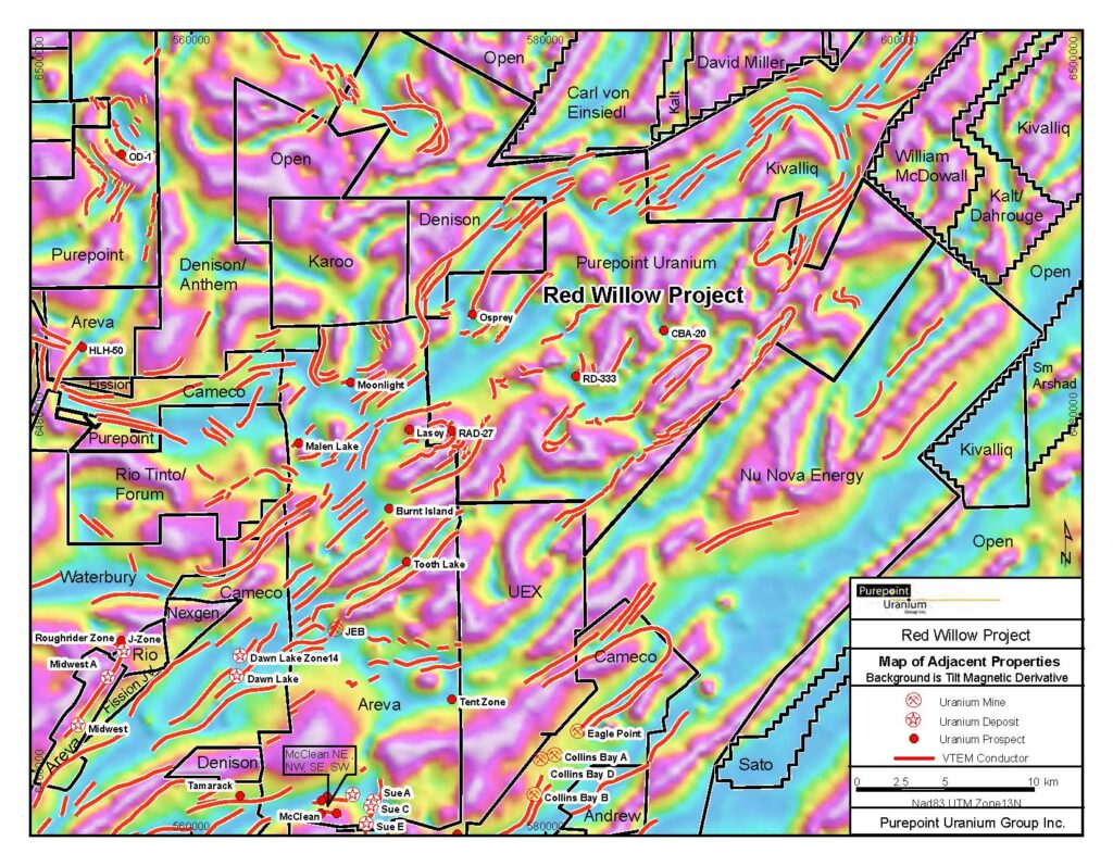
The 100% owned Red Willow property is situated on the eastern edge of the Athabasca Basin in Northern Saskatchewan, Canada and consists of 17 mineral claims having a total area of 40,116 hectares. The property is located close to several uranium deposits including Orano Resources Canada Inc.’s JEB mine, approximately 10 kilometres to the southwest, and Cameco’s Eagle Point mine that is approximately 10 kilometres due south.
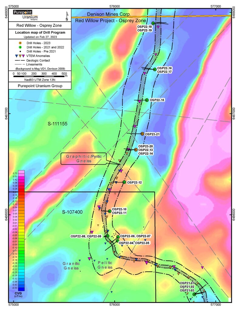
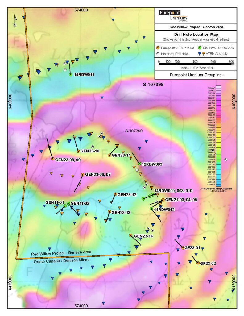
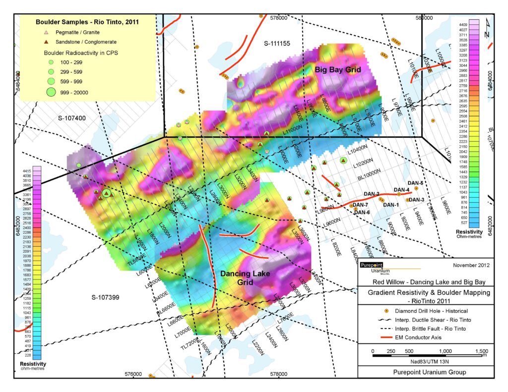
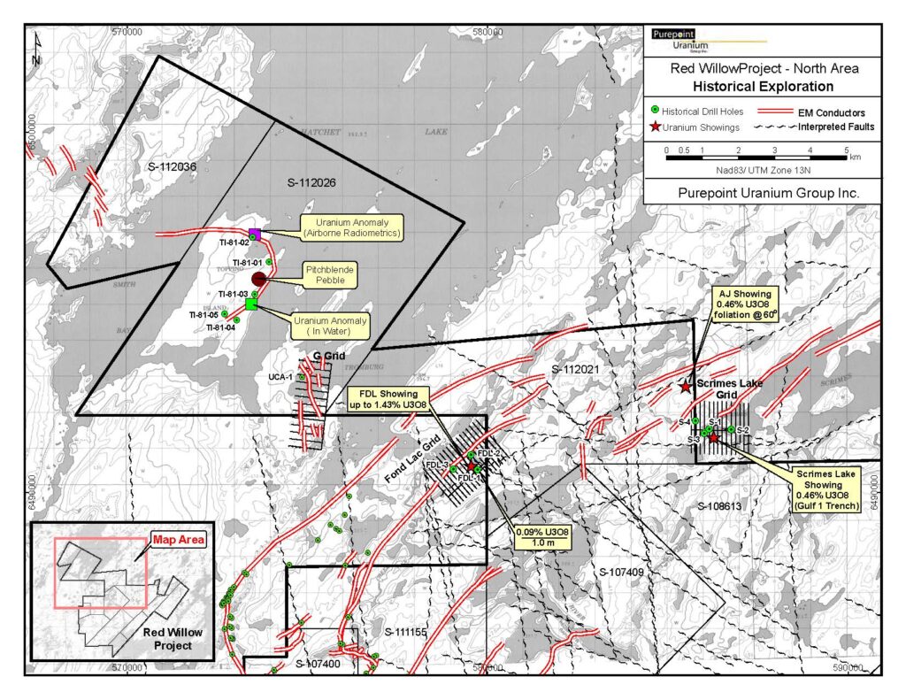
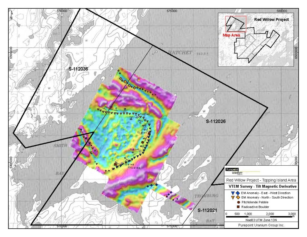
Geophysical surveys conducted by Purepoint at Red Willow have included airborne magnetic and electromagnetic (VTEM) surveys, an airborne radiometric survey, ground gradient array IP, pole-dipole array IP, fixed-loop and moving-loop transient electromagnetics, and gravity. The detailed airborne VTEM survey provided magnetic results that are an excellent base on which to interpret structures while the EM results outlined over 70 kilometres of conductors that in most instances represent favourable graphitic lithology. A total of twenty-one conductive zones have been identified as priority exploration targets of which only seven have been subject to first pass drilling.
